Enter Search Criteria
Maps
Access our vector maps, imagery and open datasets.
Search
Find locations by place names or address.
Directions
Optimize routes and generate turn-by-turn directions, react to real-time traffic, and route multiple vehicles to multiple destinations.
Description
A rich 2D & 3D mapping API for web developers. Allows you to build Progressive Web Apps for the Android and iOS platforms that:
- Use the geocoding service to convert addresses to and from geographic coordinates
- Serve up directions, optimal routes between multiple destinations, and drive time calculations around a point of interest.
- Find demographic and contextual data about an area such as average income, household size and population density.
- Use a rich collection of ready-to-use basemaps, demographic maps and imagery in your app.
- Perform analysis to discover trends and pattern detections in your data
By joining our no-cost Developer Program you get:
- Complete access* to ArcGIS developer tools and libraries.
- An API reference and developer’s guide to help you learn the API.
- Self-guided tutorials, Example Apps and DevLabs.
- Live samples.
- Configurable user-interface components(Widgets).
- Access to our community to get help with your questions.
*Vector tiles, online offline, host your own data
See Esri ArcGIS Runtime SDK for JavaScript in Action

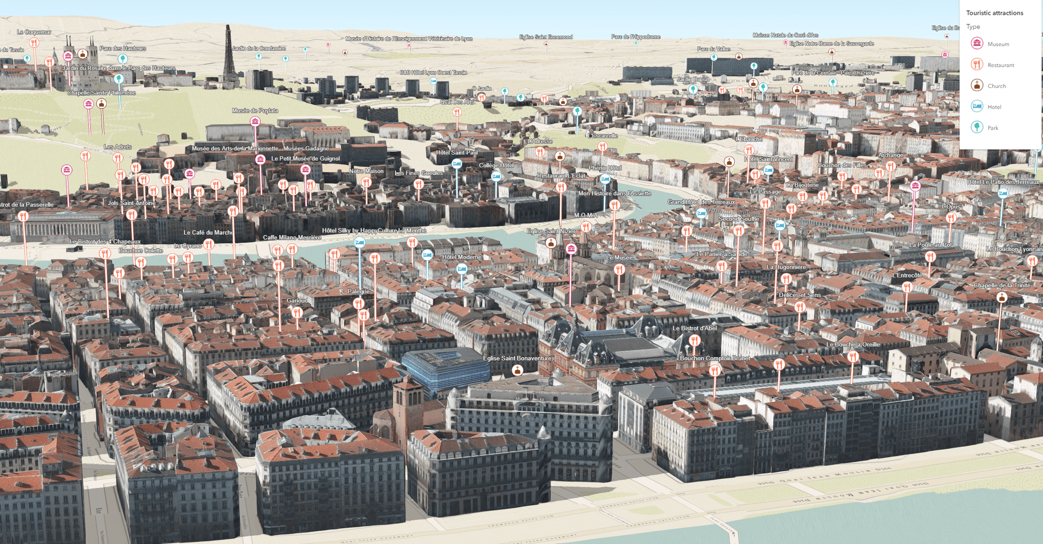
3D Nearby Tourist Attractions
This sample visualizes and symbolizes points of interest in 3D.

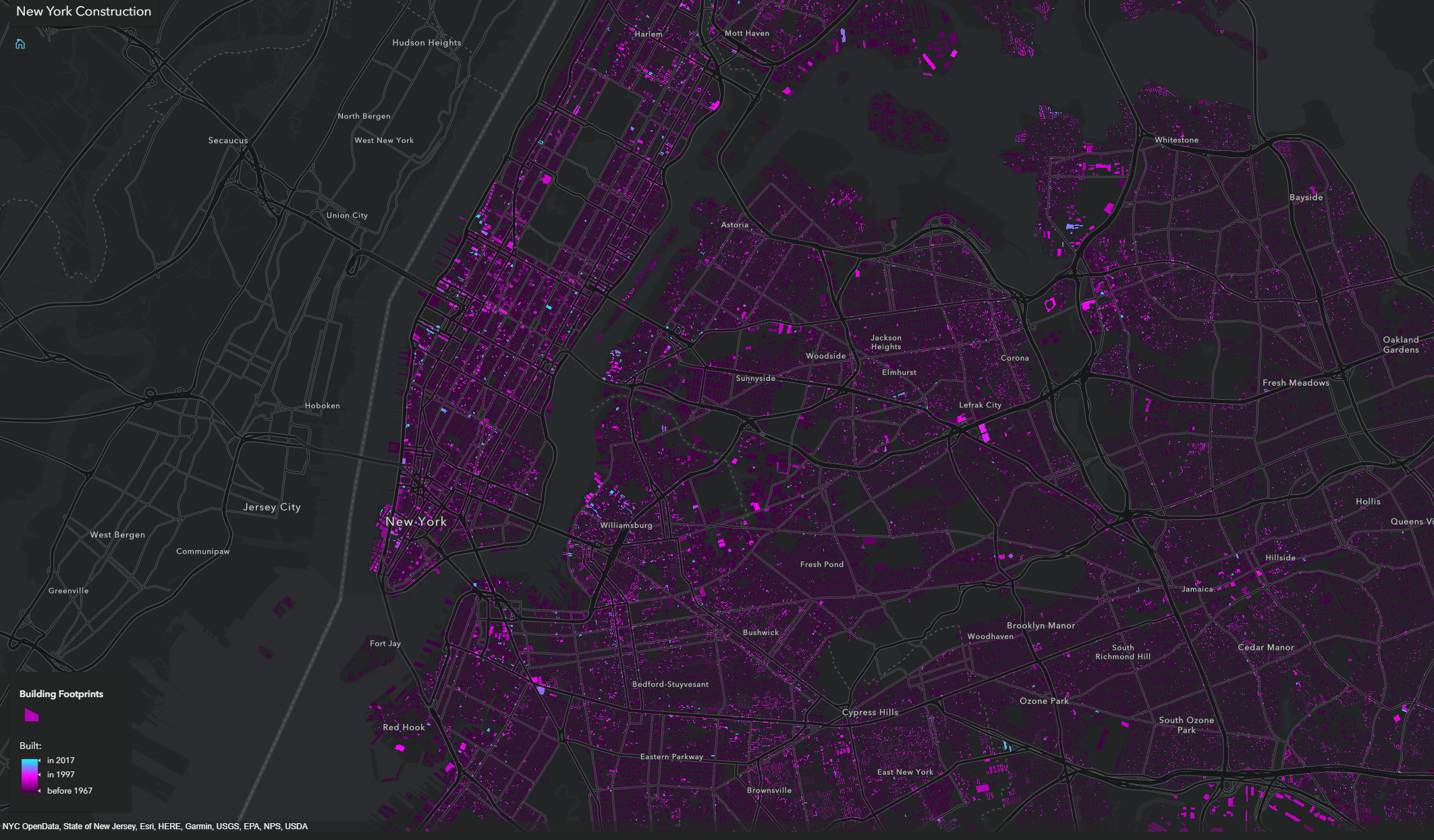
New York City Construction over Time
This sample visualizes the construction years of more than 1 million buildings in New York City.
About Esri
Esri, the global market leader in geographic information systems (GIS), offers the most powerful mapping and spatial analytics technology available. Since 1969, Esri has helped customers unlock the full potential of data to improve operational and business results. Today, Esri software is...
